Living
Balscadden
Client Marlet Group
Location Howth, Dublin
Size 13,600sq.m
Status Planning
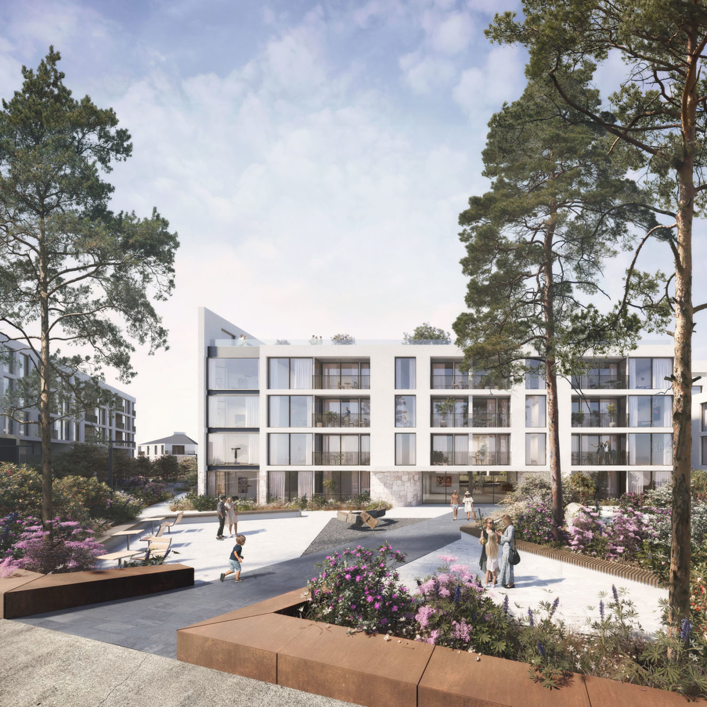
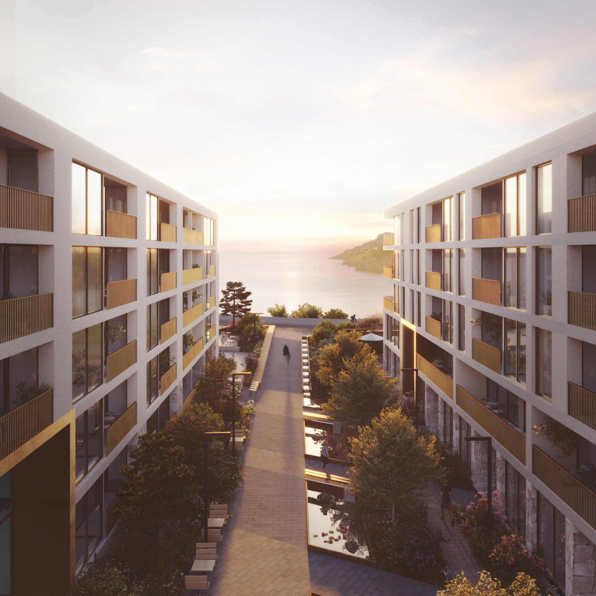
A residential-led masterplan for the old Bailey Court Hotel site in Howth village, comprising 180 apartments and ancillary uses
Howth is an historic village with distinctive character
areas: the village core, the harbour area and Howth Road.
The subject site is located within the village core character
area which has a tight urban grain and a concentration of
retail and commercial uses at ground level along Main
Street. Most of the buildings within the village core date
from the late C.19th to early C.20th with some modern
infill development.
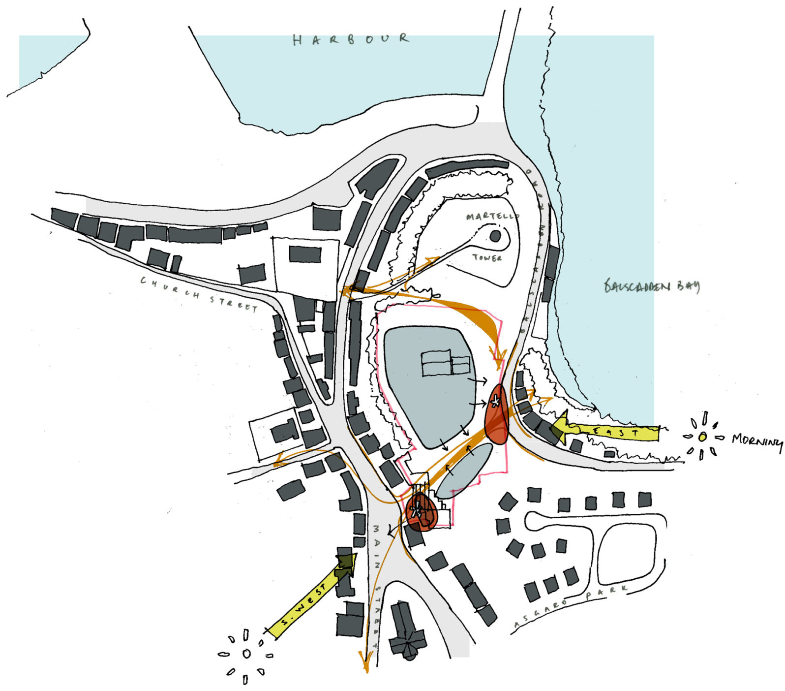
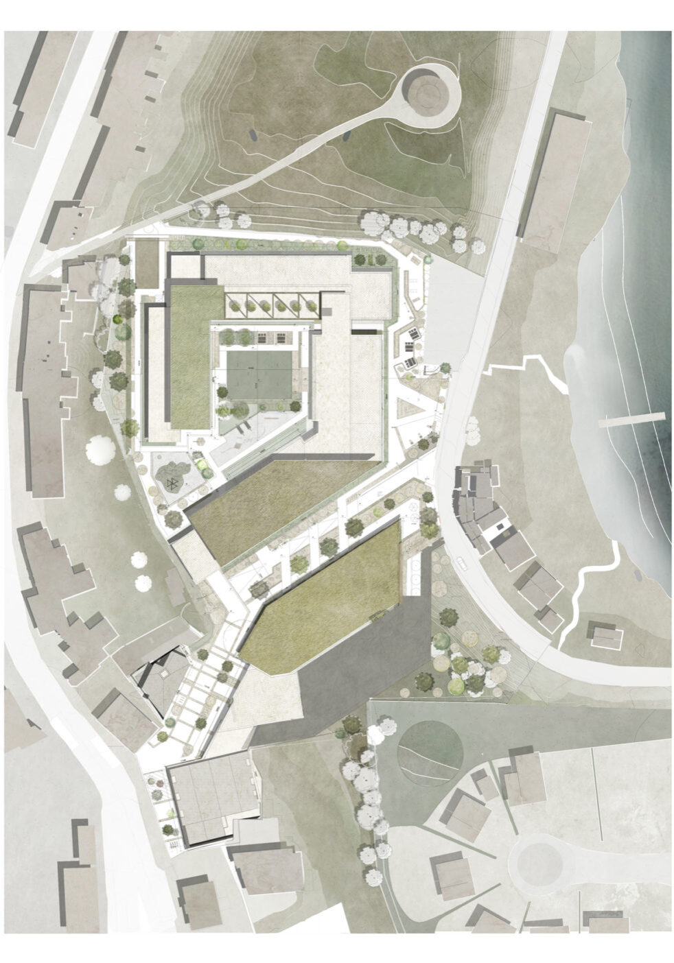
The lands offer a number of urban design benefits
that improve connection and permeability that are
proposed to be integrated into the development:
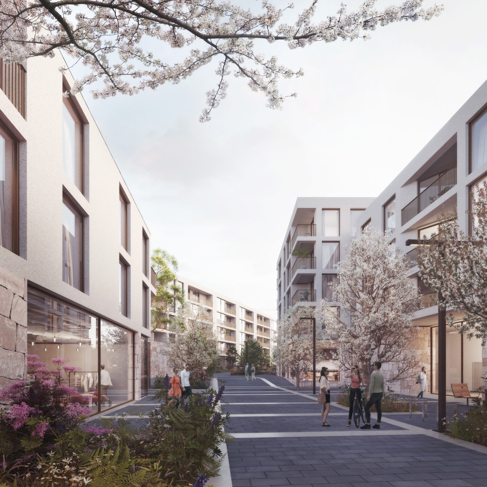
• The enabling of a new east-west connection
from the Main Street/ Howth Parish Church to
Balscadden Bay
• The enabling of an improved east-west
connection from the Main Street, to the south
of the Martello Tower, to Balscadden Bay
• A new public space facing over Balscadden Bay
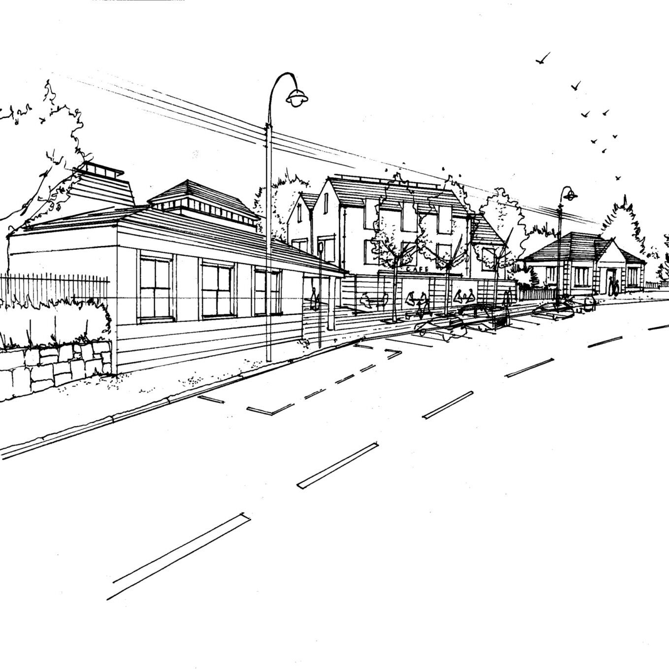
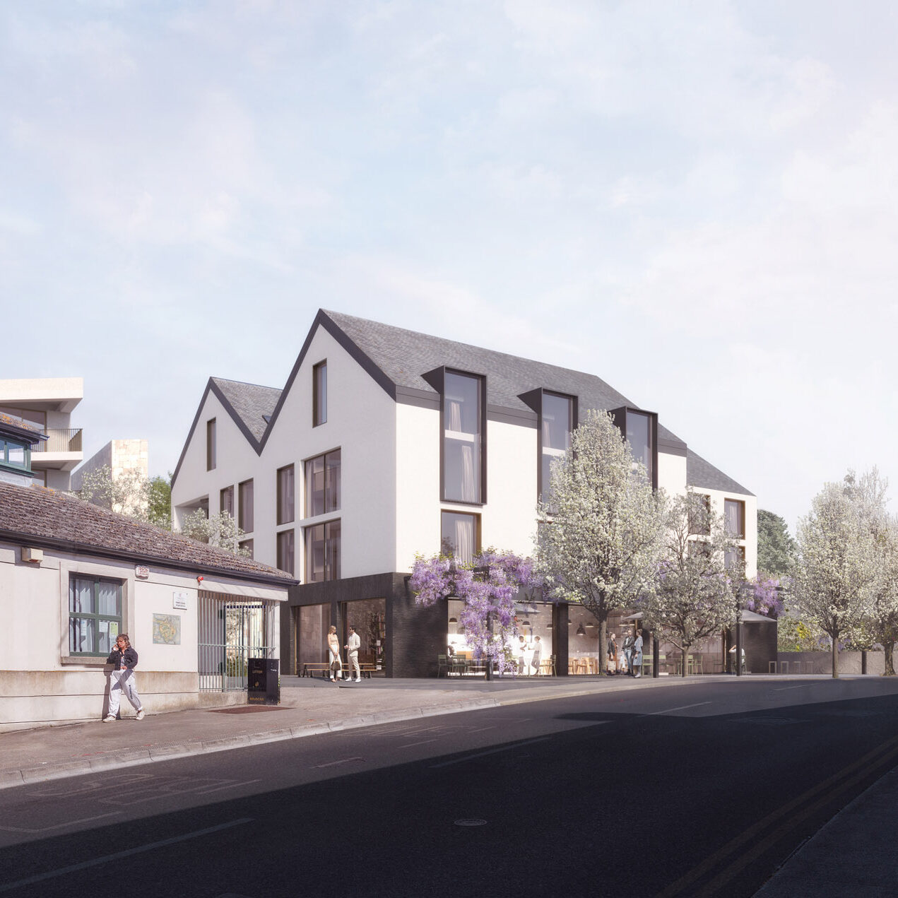
• The delivery of new housing to the Village, with
associated active frontage retail use at the
Main Street
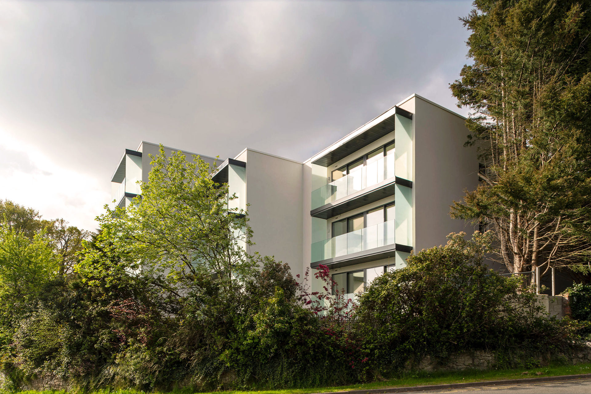
The proposed scheme footprint rationalizes a
stepping in-and-out façade, stepping back in places
near sensitive boundaries. A principle advantage
of this approach also is to reduce the extent of
intervention of the ground, mitigating concerns
raised regarding the stability of the site when
developed and the quantity of excavated material
to be removed from the site.
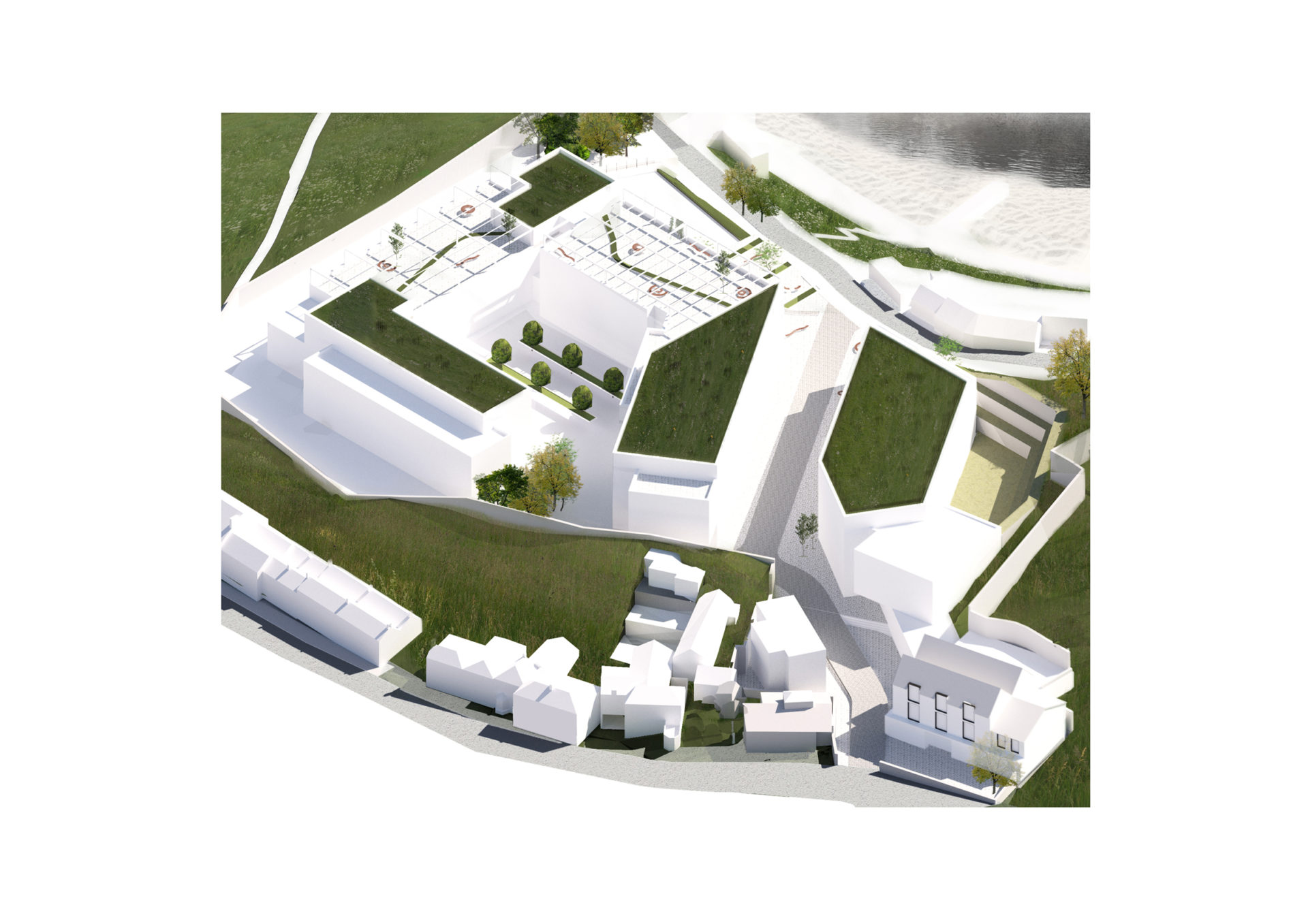
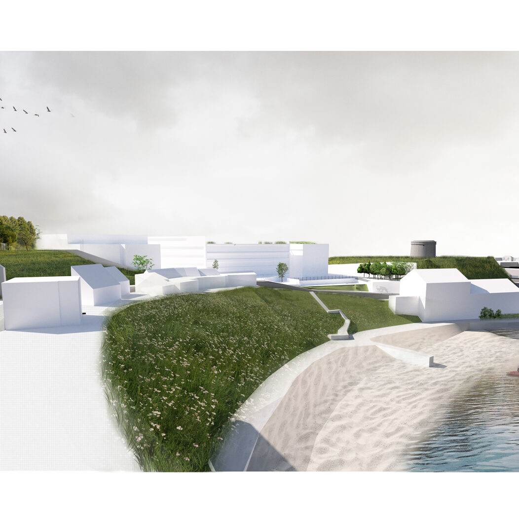
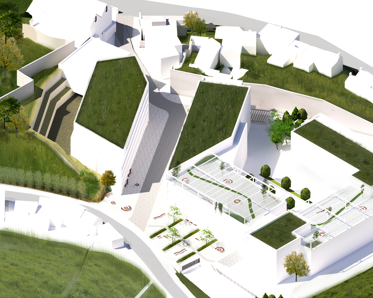
The Isometric massing models to the left show how
the scheme sits into the landscape, the green flat
roof’s replicating the excavated embankment. The
scheme steps in and out of sensitive areas, also
leaving the southeastern portion of the site clear
& uninterrupted for the houses adjacent to the
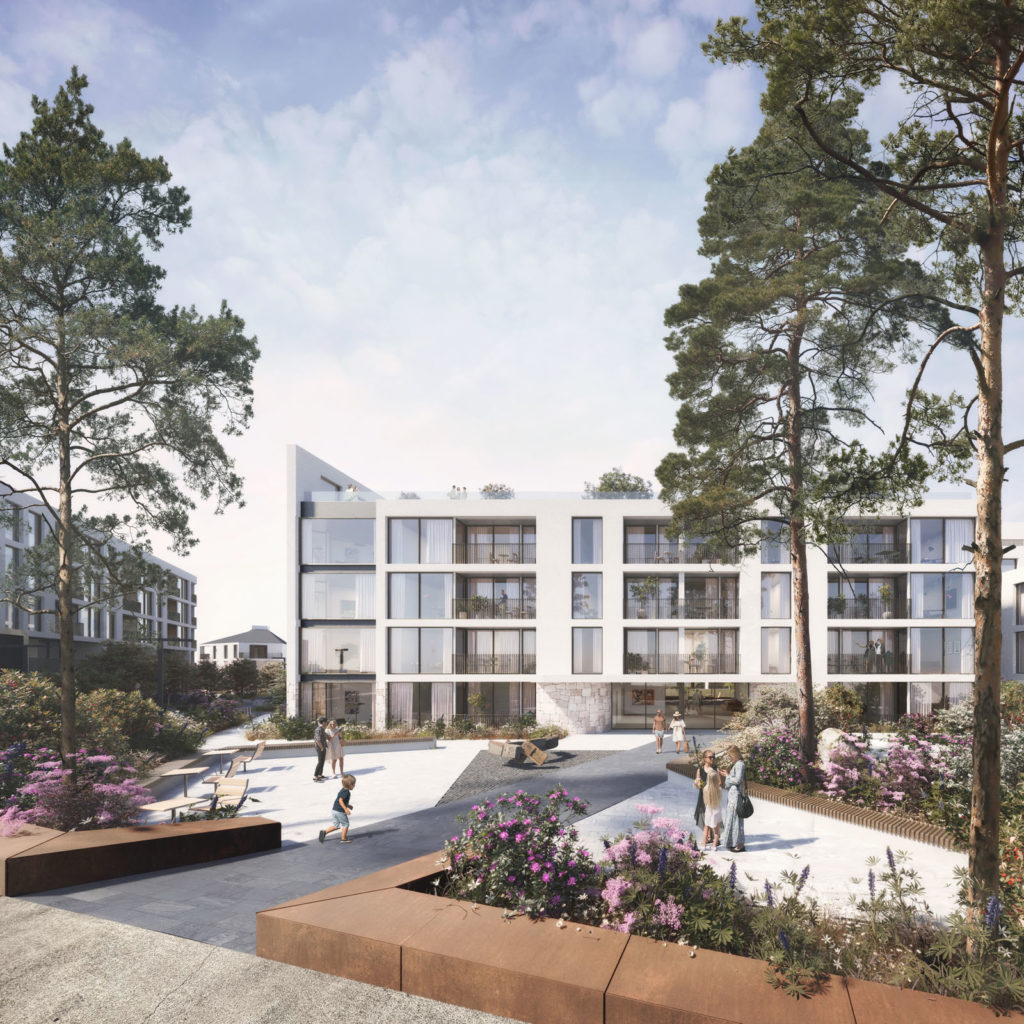
Balscadden Road. The Pedestrianised route is lined
by both Block B & C, which then opens up to reveal a
public open landscaped plaza, overlooking the Bay
The retention of the embankment onto Balscadden
Road is proposed primarily as a means to reduce
the extent of groundworks required to undertake
a redevelopment. However, the retention of the
embankment also serves to successfully shield
views of the redevelopment along the eastern
boundary viewed from Balscadden Rd, moving
towards the village. The topography of the site,
falling and rising again from north to south, further
assists with the management of this townscape
view, with the development effectively nestled into
the hillside.

